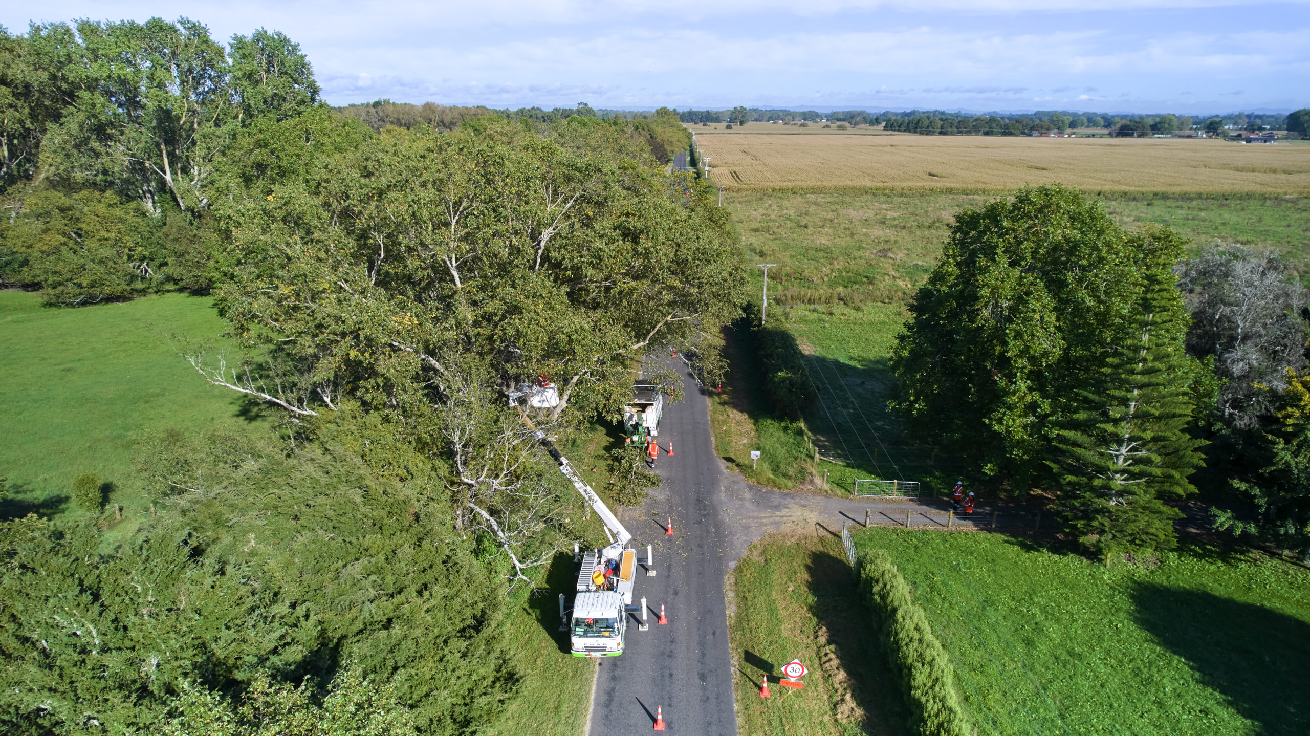
Aerial Drone Network Survey
At Waipā Networks, we’re committed to providing reliable and sustainable electricity to our customers. As part of our ongoing efforts to maintain our network, minimise customer outages and plan proactive repairs, we’re conducting an aerial drone survey of our power lines and other network assets from April 2023.
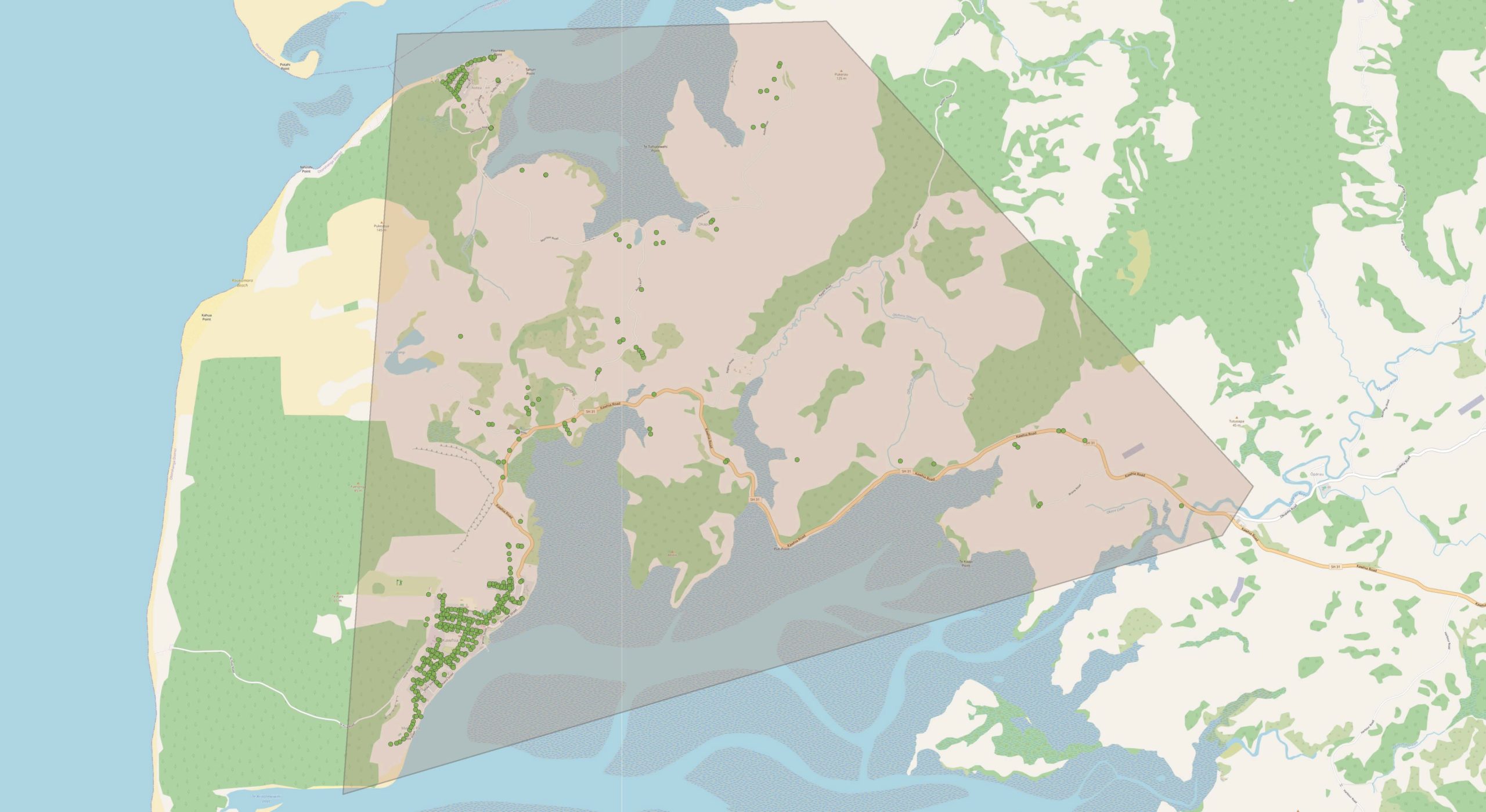
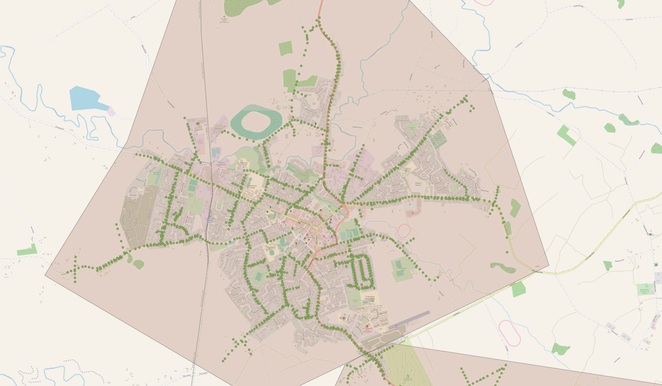
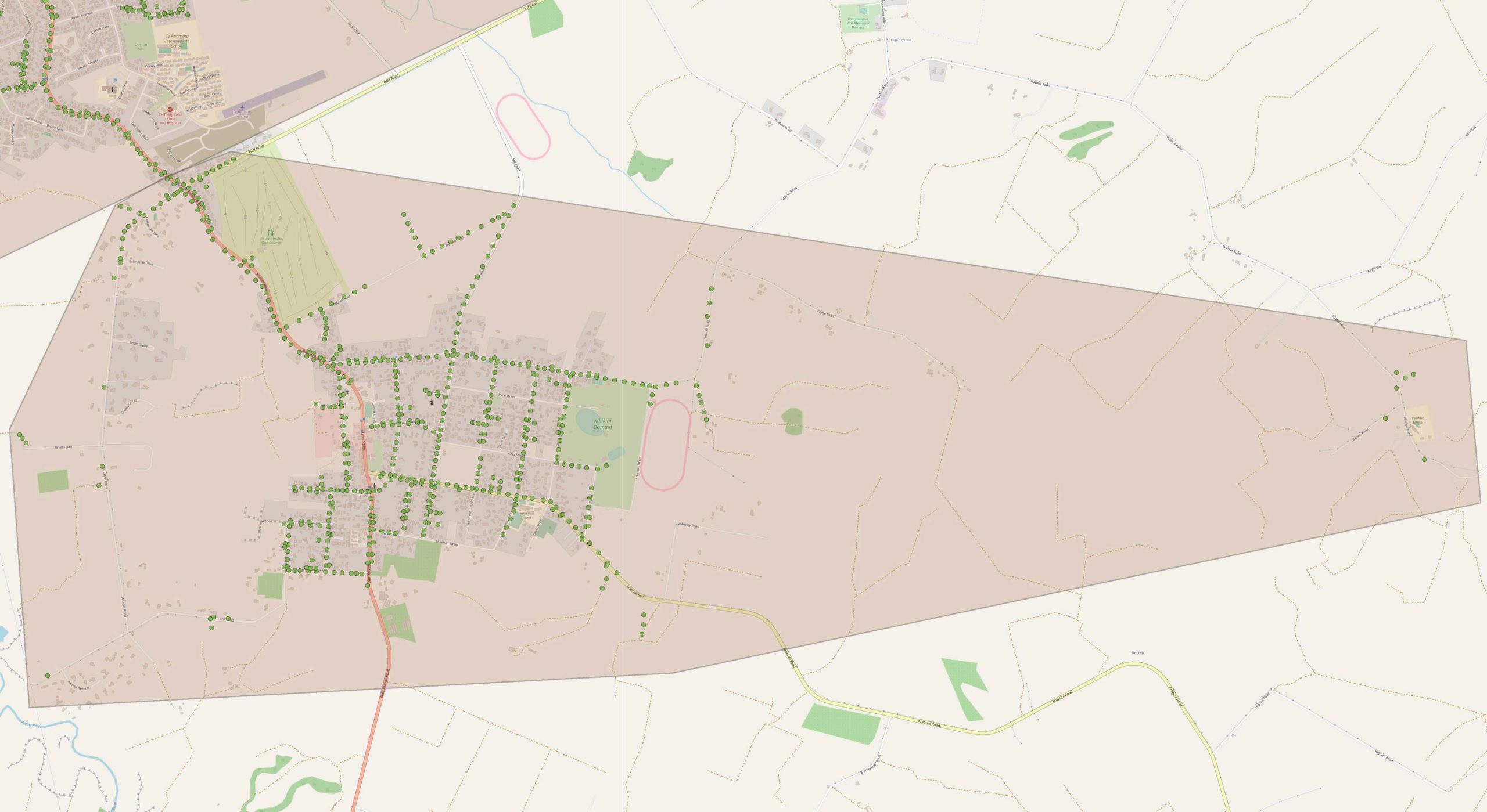
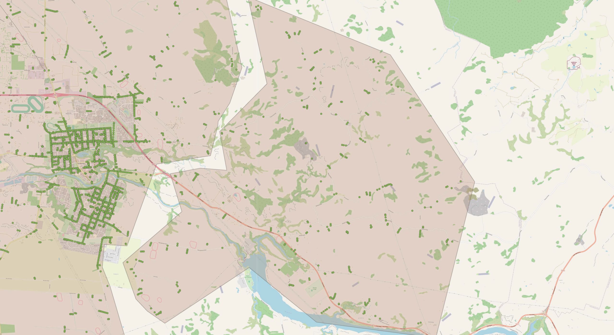
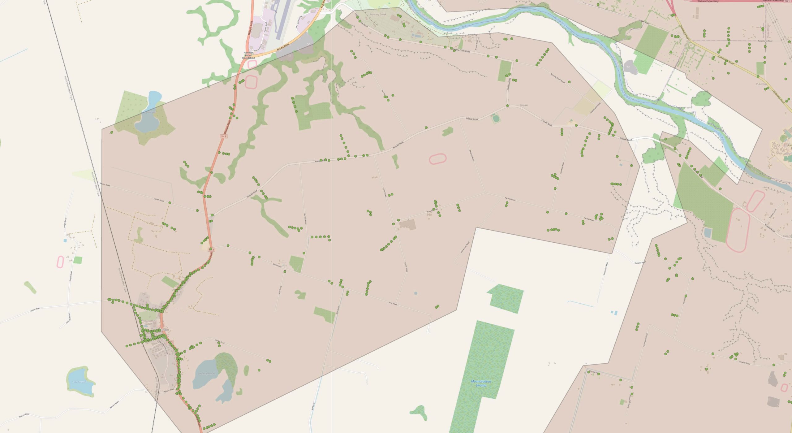
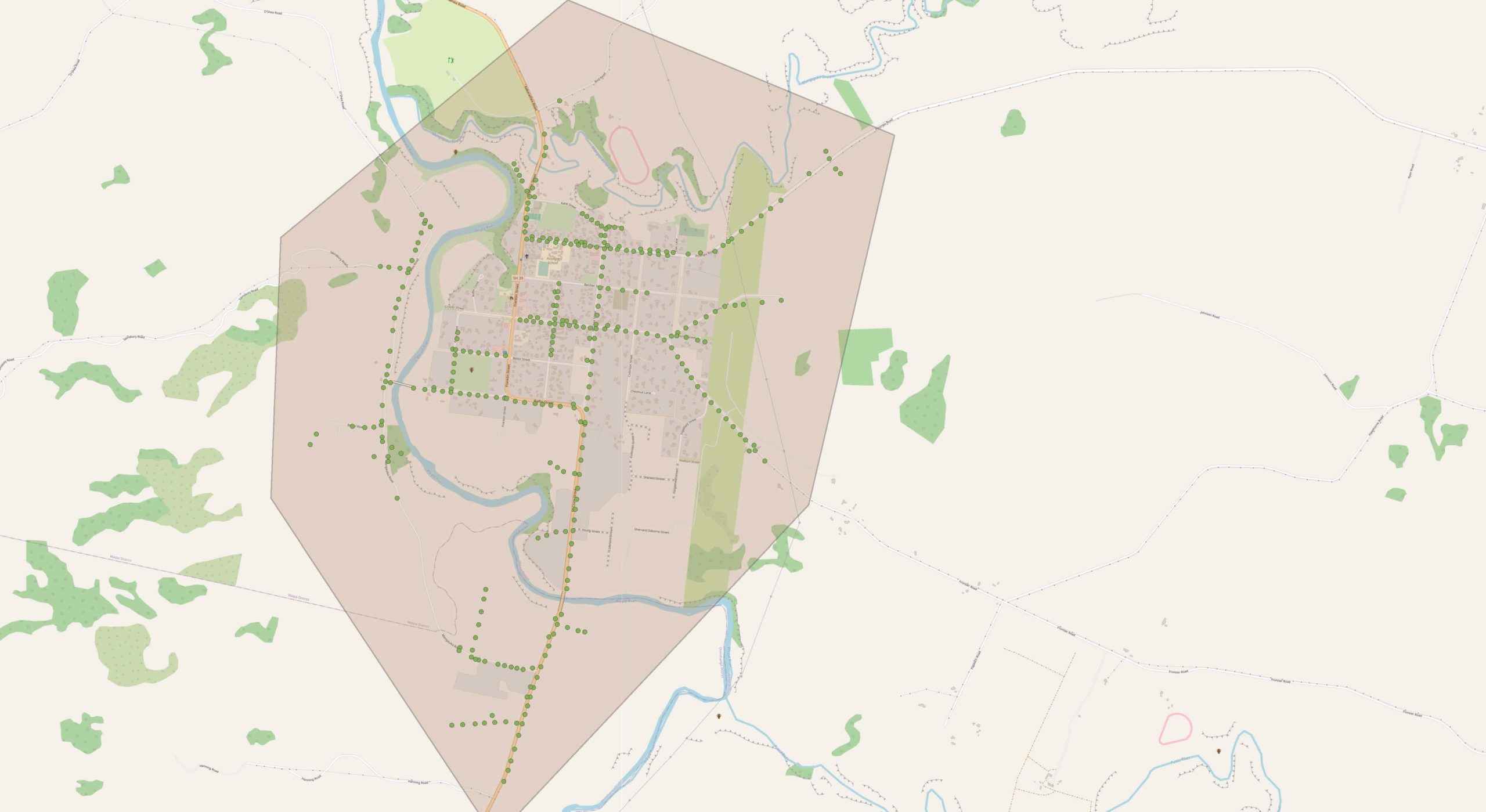
The survey covers the urban centres of Te Awamutu, Cambridge, and Kāwhia, as well as key sites surrounding these areas and wider rural areas.
What sort of images are we capturing with our drone?
The information gathered will highlight areas requiring maintenance or replacement, including potential safety issues, damaged or aging equipment, or trees encroaching on lines.
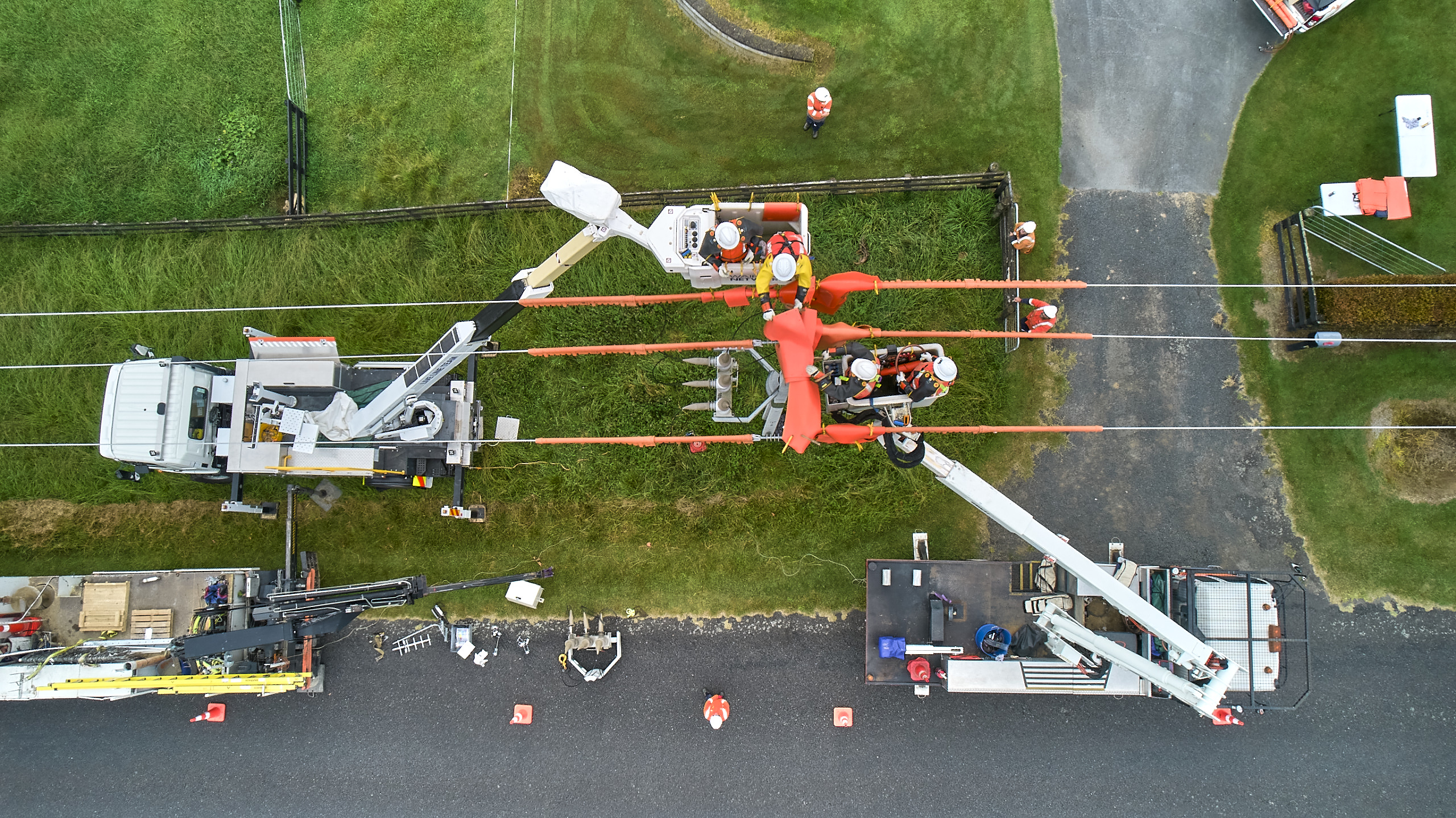
All operations will be performed by best practice aviation safety guidelines set out and approved by NZ CAA. Our inspection teams will have signage and wear high-visibility clothing to ensure they’re easy to recognise.
As we progress through the survey we’ll provide regular updates including location dates and times, noting that these can change quickly depending on weather conditions.
If you have animals or livestock on your property particulary horses and deer, please take the appropriate steps to move them to a sheltered space if they’re likely to be spooked. For example, you can move them away from paddocks near network power lines or to a secure location.
We appreciate your understanding and cooperation during this survey, together, we can work towards a safer and more reliable power supply for our community.
If you have any concerns or questions about our survey, please contact us at Waipā Networks.
Cambridge
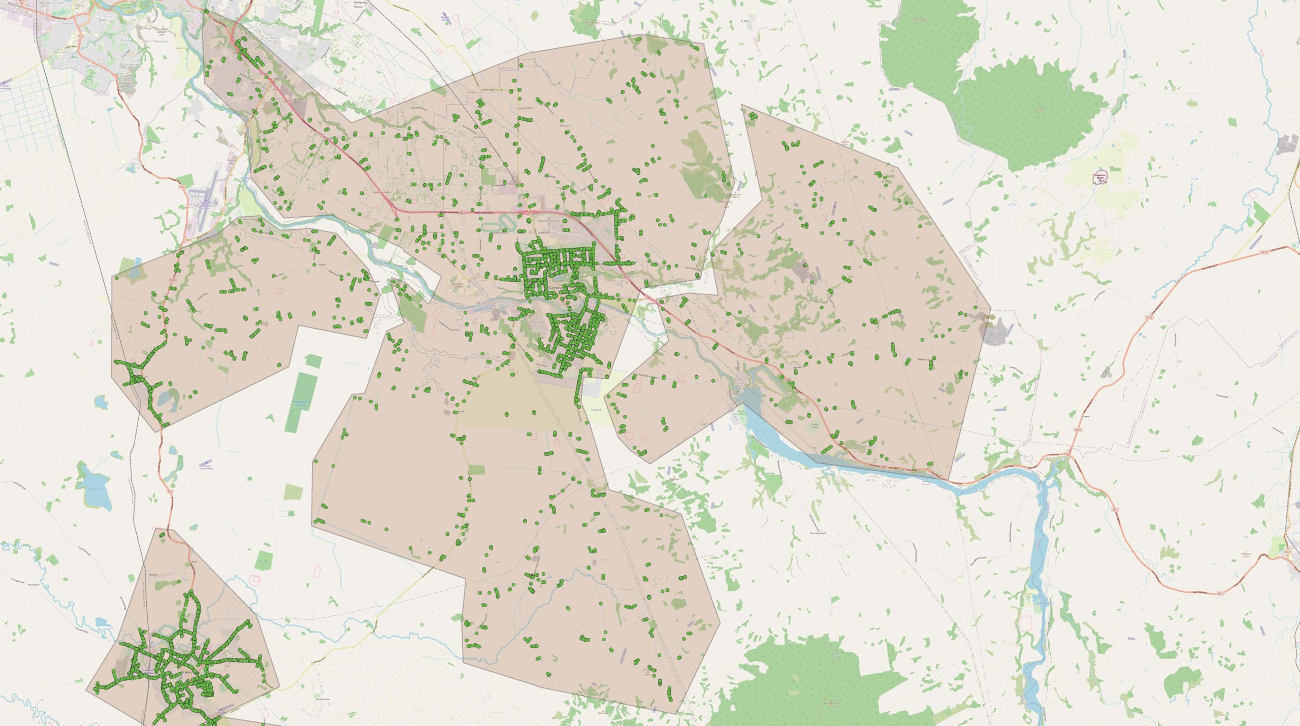
Te Awamutu
Kihikihi
Karapiro – Taotaoroa – Whitehall
Kaipaki – Ōhaupō
Pirongia
Kāwhia